National Center for Seismology
Ministry of Earth Sciences
Government of India
Ministry of Earth Sciences
Government of India
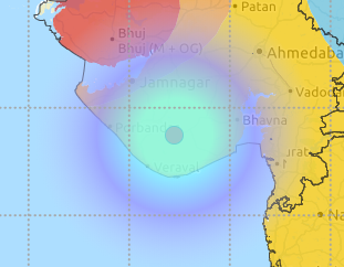
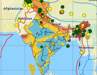
| Origin Time | : 2026-09-30 23:33:19 (IST) |
|---|---|
| Lat, Long | : 24.523, 94.473 |
| Magnitude | : 3.2 |
| Depth | : 52km |
| Event Status | : Reviewed |